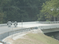
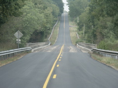
This photo is of the new bridge and realigned intersection where KY 30 and KY 846 meet in Owsley County.
Another shot of the new bridge.
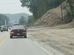
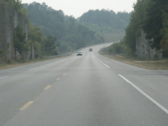
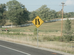
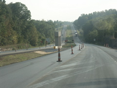
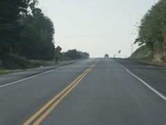
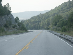
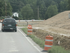
This photo is of KY 30 construction in Laurel County, northeast of London. The new road will use part of the existing grade here and a culvert has been installed.
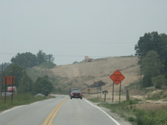
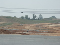
This hillside is being cleared for KY 30 to take more of a straight route instead of curving to the left as you head west.
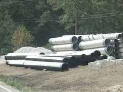
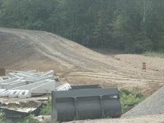
A stockpile of drainage pipes for the KY 30 project.
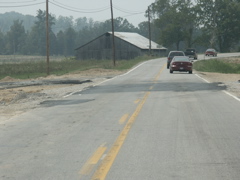
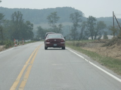
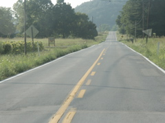
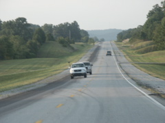
In this area along KY 30, the existing grade will be used and widened for the new road.
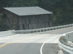
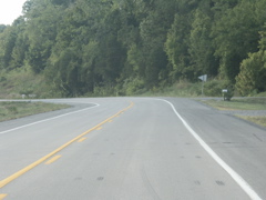
Another area where a culvert has been replaced and the KY 30 route will take the same path as the existing road.
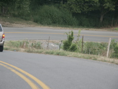
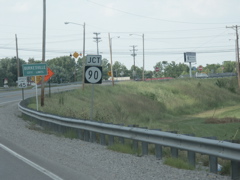
This shot is from Somerset, taken at the existing end of the KY 914 southeastern bypass at US 27. Significant progress is shown from the date of the Somerset "roadgeek" meeting held in the spring.
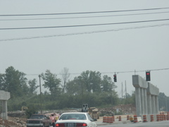
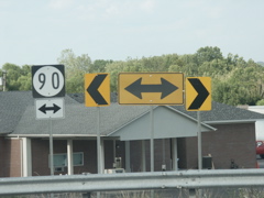
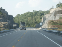
This is the KY 90-KY 1247-US 27 intersection at Burnside, which is being converted to a grade-separated interchange. Showing much progress from the Somerset roadgeek meeting date, the bridge piers have been poured. The one visible on the left is on the east side of US 27, the one to the right is in the median of US 27.
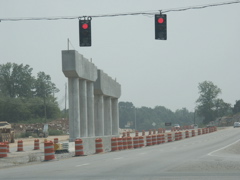
A better view of the bridge piers in the center of US 27.
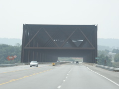
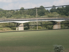
The new "rusty bridge" crossing the Cumberland River (Lake Cumberland) on KY 90 was part of the roadgeek meeting tour. This is heading west on KY 90 not far from the US 27 intersection and the construction project.
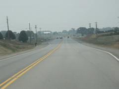
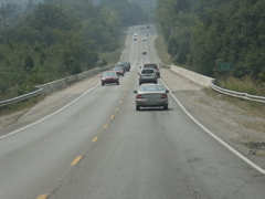
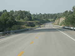
Passing lanes have been built along KY 90, which is an Appalachian Regional Commission corridor. This one begins in Pulaski County and the Wayne County line is in the background.
Upon entering Wayne County, KY 90 is named for a Kentucky state trooper.
A better shot of the area where passing lanes have been installed. Here they are on both sides of the road.
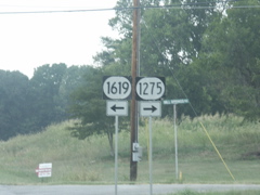
KY 90 intersects KY 1619 and KY 1275 in Wayne County.
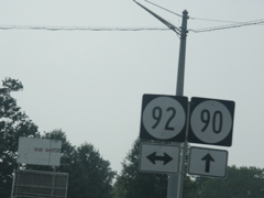
In Monticello, KY 90 bypasses town to the north and intersects KY 92.
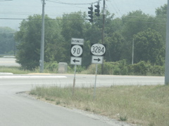
KY 3284 is the old routing of KY 90 west of Monticello. Through town the route is labeled Business KY 90.
This is the KY 90 bridge over Otter Creek. There are two other KY 90 crossings of the creek just downstream from this bridge, and one of them is still in use as a county road. You can drive on the other one but it has a guardrail on the western end. Photos of those two bridges are on the Day 1 page of my June 2006 roadtrip to Tennessee, Alabama, Mississippi, etc.
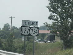
North of Albany, KY 90 intersects US 127, and KY 734.
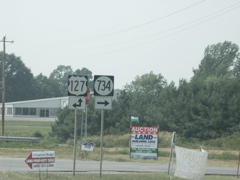
US 127 has been moved off several old two-lane alignments in this area. At one time in the 1970s it did not run into KY 90 here, and KY 734 ran in both directions.
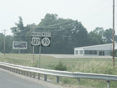
US 127 joins KY 90 for a short shared route.
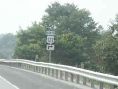
US 127 departs KY 90 after a short co-signed run.
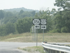
KY 3156, which turns left here as US 127 north departs KY 90 west, used to be US 127. The existing alignment keeps US 127 on a straight route south of KY 90 instead of making a couple of turns onto other roads, as it used to do.
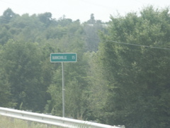
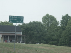
This sign goof that I first noted several years ago is still in place. It should be "Burkesville" instead of "Burksville."
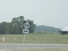
KY 1590, at one time, was KY 90S. As late as the 1960s, KY 90S was a suffixed route that dipped south from KY 90 and went through Albany.
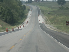
Along KY 90 west of Albany, in Clinton and Cumberland counties, a project is underway to pave the shoulders of this ARC corridor route.
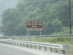
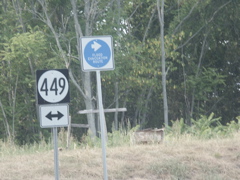
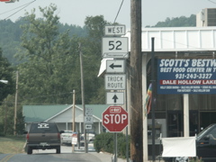
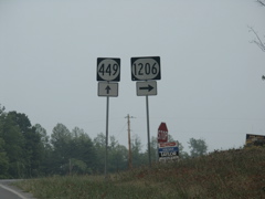
KY 449 turns off KY 90 east of Burkesville and leads to Dale Hollow Lake State Resort Park.
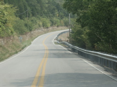
This shot of KY 449 shows the condition of the road as it departs KY 90.
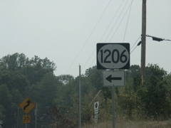
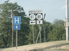
KY 1206 is the route that leads from KY 449 to the state park. KY 449 continues on to KY 61.
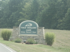
Entrance sign at Dale Hollow Lake State Resort Park.
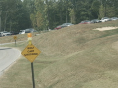
Inside the park is a text sign where the golf cart path crosses the highway.
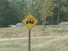
And if the text sign wasn't enough, there is a graphic representation of a golf cart.
Heading back out of the park on KY 1206, visitors can turn north on KY 449 toward Albany (reached by KY 90), or turn south to reach Burkesville (via north KY 61) or Celina, Tenn. (via south KY 61).
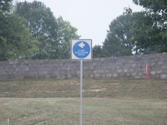
At the end of KY 1206. Because of the condition of Wolf Creek Dam, which impounds Lake Cumberland, flood evacuation route signs have been installed -- although one wonders why this one's here; this part of Cumberland County is on high ground and is in the Dale Hollow basin instead of the main Cumberland River basin.
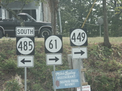
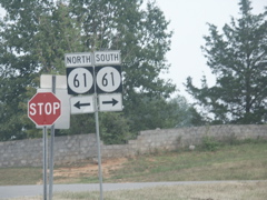
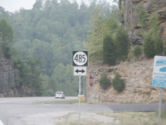
This photo is where KY 449 runs into old KY 61. To the left is a former state route in the 2000-series but has been turned back to the county. After a short distance it runs into KY 485. KY 449 uses the old alignment of KY 61 to get to the new alignment.
This is KY 61 heading south just beyond the KY 485 intersection.
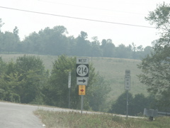
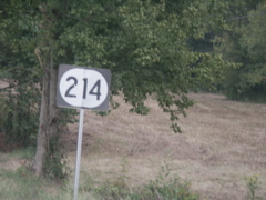
KY 214 leads to a Cumberland River ferry crossing (see signs on either side of the KY 214 sign) and eventually connects with KY 100 in Monroe County.
KY 61 south not too far from the Tennessee state line. This is a continuation of the ARC corridor that follows KY 90 from Burnside to Burkesville.
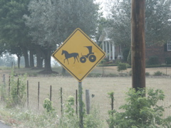
Kentucky's "look out for horse-drawn Amish carriages" sign.
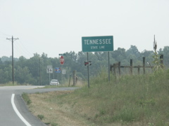
Entering Tennessee.
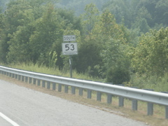
KY 61 becomes TN 53 at the state line.
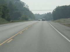
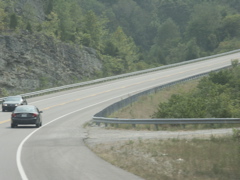
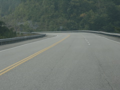
The quality of the road is the same on either side of the state line.
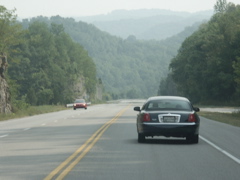
Heading down the hill on TN 53 toward Celina and the Cumberland River valley. This is near Dale Hollow Dam.
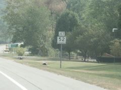
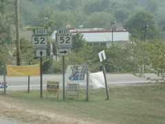
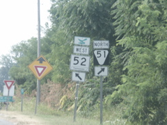
Approaching TN 52 in Celina.
TN 52 joins TN 53 for a short distance if you're going south or east.
In downtown Celina, TN 52 follows a route fraught with 90 degree turns.
Outside Celina, heading west on TN 52, a portion of the road has been improved with a passing lane.
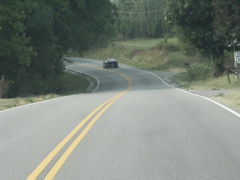
The unimproved parts of TN 52 between Celina and Moss look a lot like this.
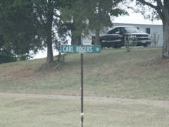
Spotted at Moss, Tenn., and presented without comment here. If you don't know who Carl Rogers is, read the misc.transport.road newsgroup and then visit www.calrog.com.
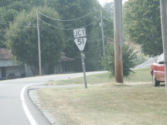
Approaching TN 51 in Moss.
Where can you go from Moss?
Intersection of TN 52, a primary route, and TN 51, a secondary route. The green sign in the background says it's 10 miles to Tomkinsville, Ky. and 30 miles to Glasgow, Ky. At the state line TN 51 becomes KY 163.
Tennessee's version of the "horse and buggy" sign.
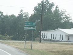
Entering Macon County.
Immediately upon crossing from Clay into Macon, TN 52 becomes an improved route.
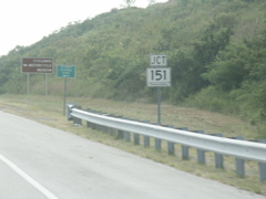
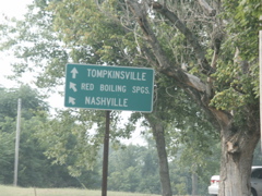
TN 52 intersects TN Primary 151 near Red Boiling Springs. TN 52 no longer runs through that town, but bypasses it to the south.
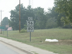
TN 52 intersects TN 56 and TN 80 at Red Boiling Springs.
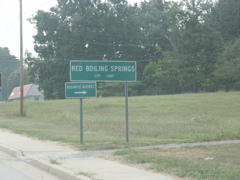
Signage at Red Boiling Springs, a town name that always fascinated me since I saw it as a kid on Kentucky's road maps as a town in the state to our south.
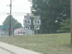
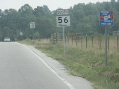
Northbound TN 56 leads to Gamaliel, Ky. Southbound TN 56 becomes a secondary route (TN 151, shown earlier, is the main way) and eventually ends up in Gainesboro, where it takes over the ARC corridor alignment from TN 53.
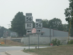
TN 80, shown here, goes to Carthage. It runs concurrently with TN 56 for several miles before the routes split.
This is a typical view of TN 52 between Red Boiling Springs and Lafayette.
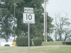
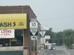
At Lafayette, TN 52 and TN 10 intersect.
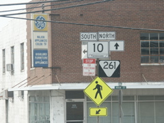
Note the two different fonts for the word "Tennessee" in these signs. The one on the left uses Clarendon, the one on the right some unknown (to me anyway) sans-serif font.
Ditto for these signs.
This TN 10 sign uses the sans-serif font.
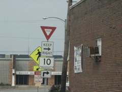
In downtown Lafayette, TN 10 goes around a town square.
More signage in the town square. This sign shows that Tennessee is slowly adopting the larger first letter for directional signage. I also spotted a couple of "West" banners on TN 52 but did not photograph them.
This assembly is a bit confusing. Which way does TN 261 go?
Heading north out of Lafayette toward the Bluegrass State.
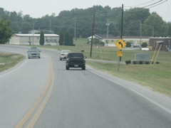
This is inside Tennessee but the sign shown here is a dead giveaway to what lies around the curve.
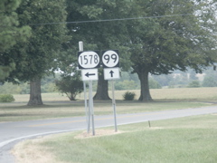
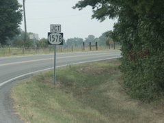
The intersection of KY 1578 and KY 99 is practically right at the state line -- it may actually be in Tennessee.
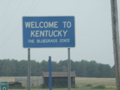
State line sign with the 0 mile marker visible.
Typical view of KY 99. The quality of the road's alignment is not as good as TN 10.
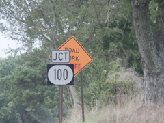
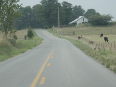
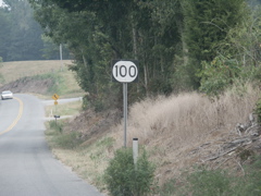
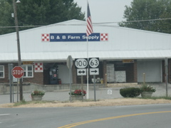
Approaching the end of KY 99 at KY 100 at Holland, in Allen County.
At KY 100.
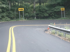
A hairpin turn on KY 100 east of Holland.
KY 100 drops down a hill and crosses this bridge at the headwaters of Barren River Reservoir.
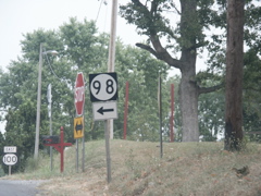
Just outside Fountain Run, KY 100 intersects KY 98.
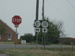
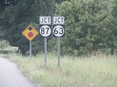
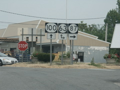
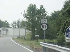
At Fountain Run, which bills itself as "The Crossroads of Three Counties," KY 100 and KY 87 intersect. KY 87 is a discontinuous state route. Here we are heading east on KY 100, KY 87 to the right enters Tennessee. Another route that emerges from the Volunteer State near Gamaliel also carries the KY 87 number.
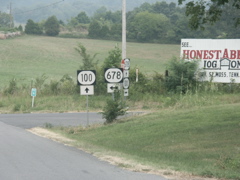
Approaching Gamaliel, amid the rollilng south-central Kentucky countryside, KY 100 intersects KY 678.
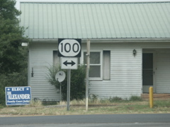
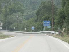
It's common in Highway District 3 for the reassurance markers not to have a directional banner. Such is the case for this KY 100 sign.
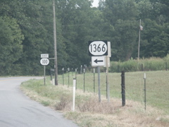
KY 1366 is a shortcut between Scottsville and Tompinsville; it runs in a straighter direction than KY 100, which dips south toward Gamaliel and the Tennessee state line before joining KY 63 and heading back north to Tompkinsville.
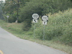
KY 100 and KY 792 intersect; note the bannerless KY 792 sign in the background. This is just outside Gamaliel.
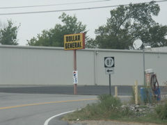
Approaching the small city of Gamaliel. KY 87 does not actually intersect KY 100 at this location; it's reached by making a right onto KY 63 and then immediately making another right. This iteration of KY 87 goes to the Tennessee line where it becomes a local road. At one point KY 87 continued as Clementsville Road and actually did run concurrently with KY 63 and KY 100 for a few miles, but that road was turned over to the county in the 1980s.
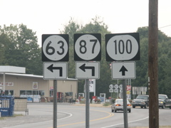
Signage where KY 100 intersects KY 63. At one point KY 87 had the same arrow as KY 63 does.
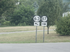
Intersection of KY 63 and KY 87. Note the use of the three-digit oval for the KY 63 sign. At one point these were common in the region (even for some of the two-digit US routes) but they are rapidly being replaced with conventional signs.
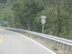
Heading into Tennessee where KY 63 crosses the border, just south of Gamaliel.
KY 63 becomes TN 56.
Looking back into Kentucky where TN 56 becomes KY 63.
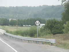
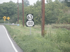
The first KY 63 marker.
Just around the curve and up the hill from the previous photo is the KY 87 intersection.
KY 87's turnoff from KY 63 northbound.
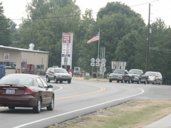
Intersection of KY 100 and KY 63.
This is looking back south on KY 63 and west on KY 100. The KY 87 signage is left over from the days before Clementsville Road was decertified as a state route.
This shows the intersection and the signage that was in the background of the previous photo.
This KY 63 reassurance marker needs a companion KY 100 marker.
Here we have just passed the KY 1366 intersection approaching Tompkinsville and both route numbers are present on this unbannered assembly.
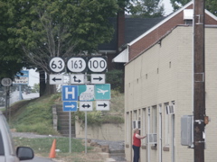
Downtown Tompkinsville. I have a previous version of this assembly on the Road Sign Math page and these signs appear to be replacements for the assembly I photographed here in 2000 or thereabouts. Note the unbannered KY 163 sign in the background.
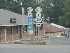
After a one-block shared route, Ky 100 and KY 163 split. KY 163 heads south to the Tennessee line where it becomes TN 51 and heads back toward TN 52 and Moss (home of Carl Rogers Road).
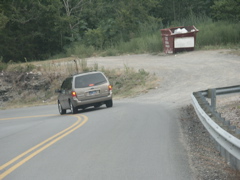
A sharp curve on KY 100 east of Tompkinsville, descending to the Cumberland River valley.
Another sharp curve on KY 100.
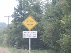
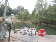
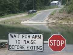
Advance warning signage for the Cumberland River ferry on KY 214.
This shot is a bit blurry but it shows the intersection of KY 100 and KY 214.
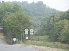
Another reassurance marker without a directional banner -- quite common in this area of Kentucky.
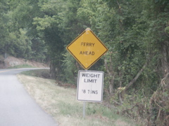
Sign warning motorists on KY 214 that a ferry is ahead.
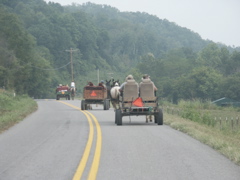
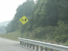
This wasn't a group of Amish, but rather what appeared to be some local residents out for a ride. They waved me around down at the bottom of the little dip in the background.
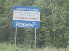
Sign for the McMillin's Landing ferry which crosses the Kentucky river.
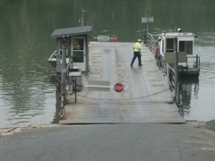
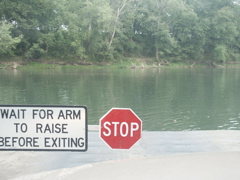
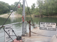
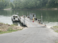
Getting ready to pull onto the ferry for the ride across the Cumberland River. The KYTC employee is walking over to the controls to start the trip. The ferry was already docked on this side of the river when I got there.
Getting ready to cross the river.
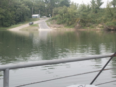
A look at the landing on the east side of the river.
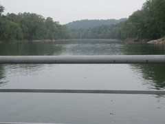
Looking downstream toward Tennessee.
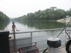
Looking upstream. Looks like someone was planning to do a little fishing in their spare time.
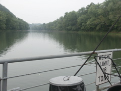
Out on the river, heading across.
Another shot as we cross the river.
Another view upstream from the middle of the river.
Getting ready to land on the east shore.
Looking back at the verry from the east landing.
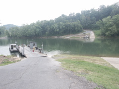
This shot shows the ferry docked on the east side and the western landing in the distance.
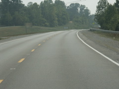
Typical view of KY 214 in the Cumberland River valley on the east side of the ferry.
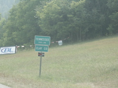
Crossing into Cumberland County with a flood evacuation sign in evidence.
At KY 214's end, back on KY 61.
Another flood evacuation route sign at KY 214's end.
KY 485 leads to an old alignment of KY 61 if you turn right.
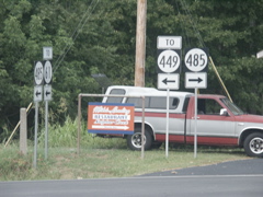
At this point, KY 485 joins the old alignment of KY 61 (note the old concrete marker at left; these were at one time very familar sights on Kentucky highways but they are disappearing. The portion of old KY 61 between KY 485 and KY 449 was once numbered in the 2000-series but was turned back over to Cumberland County sometime in the 1980s.
Heading north on KY 449, back at KY 1206 and the turn toward Dale Hollow.
This is the next day of the trip -- heading north on KY 61 south of Burkesville.
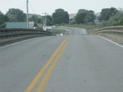
Crossing the Cumberland River on KY 61.
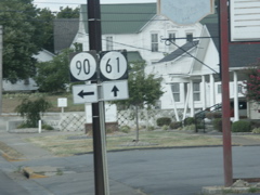
Approaching KY 90 at Burkesville.
This is a shot (pardon the telephone cables) of the KY 90 bridge that crosses the Cumberland River, as seen from KY 61.
At the intersection of KY 90 and KY 61 -- the sign is missing but KY 61 turns left to join KY 90.
Like many towns in southern Kentucky, Burkesville has a courthouse square.
Split of KY 90 and KY 61.
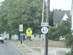
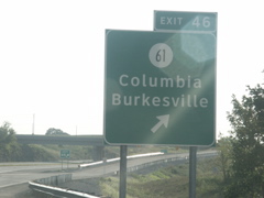
Heading north from Burkesville on KY 61.
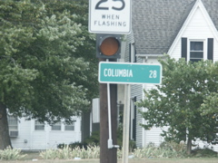
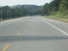
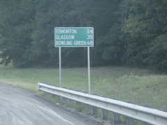
Columbia is a 28-mile drive but much of the route has been improved.
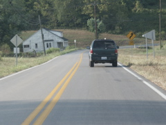
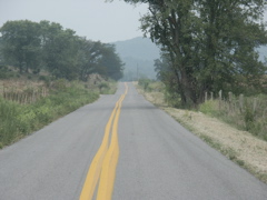
Typical view of KY 61 just north of Burkesville. The route runs through the Cumberland River valley and then a creek valley for several miles.
Another shot of KY 61.
Yet another shot of KY 61 -- note the tobacco crop at left.
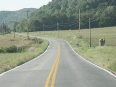
Heading out of the valley, KY 61 is improved to a wider facility with a better alignment.
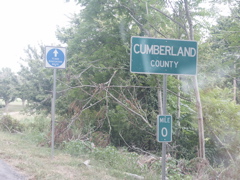
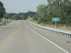
Heading north and approaching the spot where Cumberland, Metcalfe and Adair counties meet.
Atop the hill, which is somewhat of a plateau separating the Cumberland and Green river watersheds. This is in Cumberland County approaching the Adair County line.
The realigned KY 61 crosses from Cumberland County into Adair County, then immediately into Metcalfe County, before crossing back into Adair County in the picture shown here. Old KY 61 did not enter Metcalfe County at all but it did run very near to the county line; the new road is realigned to the west and does briefly enter Metcalfe County.
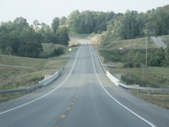
More of KY 61 in Adair County.
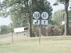
KY 61 intersecs KY 768 and the two routes run concurrently for a short distance after the improved portion ends.
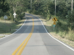
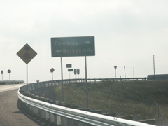
This is a typical view of KY 61 as it approaches Columbia.
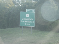
KY 61 transitions to a new alignment near the new Cumberland Parkway interchange west of Columbia.
The new road is four lanes north of the Cumberland Parkway. This is the KY 80 intersection.
KY 80 joins the new KY 61 alignment south of Columbia.
A typical view of the four-lane section of KY 61 and KY 80. In the background, just before the rock cut in the distance, is where the under-construction Columbia Bypass will cross KY 61.
This unusual type of "lane ends" sign, not recently oft-seen in Kentucky, is on KY 61 as the road narrows from four lanes to two. It's reminiscent of an older-style sign.
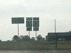
Split of KY 61 and KY 80 just outside downtown Columbia.
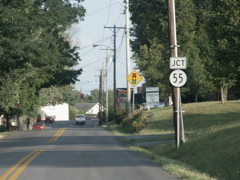
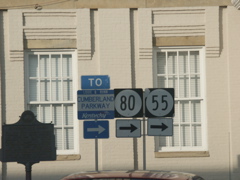
This is Tutt Street in Columbia, a shortcut between KY 80 and KY 55. It's a state-maintained route in the 2000-series but is unposted.
New Cumberland Parkway signage on KY 55.
The Cumberland Parkway was getting a resurfacing job. Also visible is a new bridge support for the under-construction Columbia Bypass.
Apparently the big mileage sign has been knocked down, so this one is now in place.
Aargh -- the afternoon sun! This is the Clearview exit signage for the new KY 61 interchange.
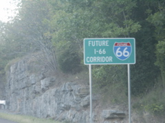
A "Future I-66 Corridor" sign between the KY 55 and KY 61 exits.
At the KY 61 exit.
This font is definitely not Clearview.
KY 61 signage at the end of the ramp.
SIgnage in the courthouse square in Columbia.
This is a view of KY 55 heading north out of Columbia. The road is in very good condition with a new coat of blacktop.
Descending toward the Green River bridge on KY 55.
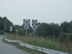
KY 3183 is an old alignment just outside of Campbellsville.
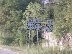
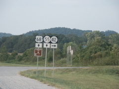
South of downtown Campbellsville, two reconstructed routes intersect at US 68 and KY 70. KY 55 turns right to join 68/70 and 210 begins straight ahead.
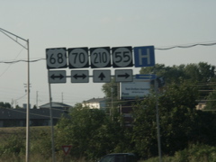
Route signage at the intersection. If tall signposts with lots of signs are called "totem poles," what should one call an assembly like this?
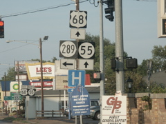
KY 289 is the old alignment of US 68 and KY 55 between Campbellsville and Lebanon.
US 68 and KY 55 signage just beyond KY 289.
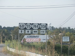
Three routes, three signs, and only three digits used.
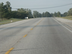
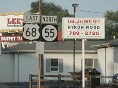
This is US 68/KY 55 north of Campbellsville. This route has been improved for several years.
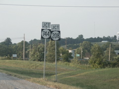
Approaching the junction of KY 744 and KY 208.
The preceeding signs were circles, these are ellipses.
Starting down the hill into the Knobs section of Kentucky, the Taylor-Marion county line is in the distance (see green sign to the right). In this part of Kentucky the ascent into the Knobs from the north and east climbs Muldraugh Hill, which runs all the way northwest past Hodgenville to near Elizabethtown to the Ohio River near Ft. Knox.
Another shot heading down the hill, now in Marion County.
Once down into the valley, this is how US 68/KY 55 looks.
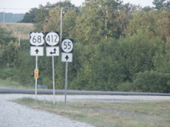
Intersection of KY 412, which joins 68/55 for a mile or so.
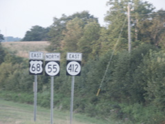
Directional signage for the tri-plex.
Departure of KY 412.
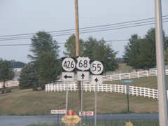
KY 426 is a shortcut over to KY 84 for traffic heading west from the Lebanon area toward US 31E and Hodgenville.
In Lebanon, KY 208 is back. Apparently it takes you to lots of places, judging from all the green signs.
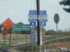
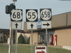
Split of KY 55 and US 68.
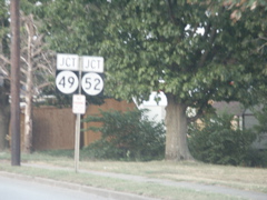
KY 55 intersects KY 49 and KY 52 in Lebanon.
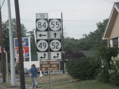
This is a nice sign assembly with four two-digit state routes shown.
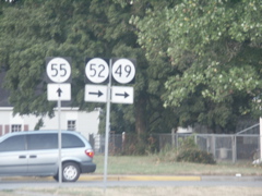
KY 49 and KY 52 are combined with KY 55 for approximately one block before departing. If I was heading home from this location, I would take KY 52 here (well actually, I would have gone straight at the KY 55/US 68 intersection, since these two routes intersect US 68 a couple of blocks away and then KY 52 joins the US route for 20-mile run to Perryville.
On the south side of Springfield, KY 528 is the old route of KY 55.
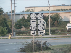
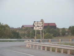
Just to the west of downtown Springfield, four routes come together. US 150 has a new routing. Half of a new bypass has been built to route US 150 out of downtown. Until it's finished, US 150 will use a portion of KY 555, which begins here and runs to the Bluegrass Parkway. KY 555 replaced the old routing of KY 53 from Springfield to a point just outside Willisburg.
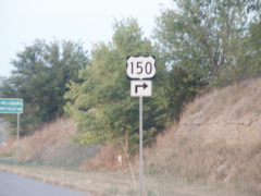
This sign shows the upcoming departure of US 150 off KY 555 and onto its new alignment which bypasses Springfield to the north and east.
At the split -- notice that a wide sign was used for US 150 in the previous photo and this assembly uses a square sign.
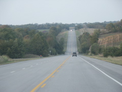
A look at KY 555 north of Springfield. Originally built as a rebuilt alignment of KY 53 and connecting Springfield to the Bluegrass Parkway, the route has been numbered KY 555 for several years and KY 53 was truncated at its KY 555 intersection. The terrain here is more rolling than it has been further to the south, as the route enters the Outer Bluegrass region of Kentucky.
New signs for the Bluegrass Parkway at the current end of KY 555.
This shows the under-construction extension of KY 555, which will extend to US 62 and the Taylorsville Lake region.
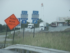
At Lawrenceburg on the Bluegrass Parkway, "To I-64" signage has been added to the US 127 exit signage. This blurry shot shows the overheads at the reconfigured interchange.
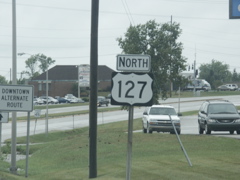
US 127 sign with the larger first letter on the directional banner. This is located in Frankfort near KY 676.
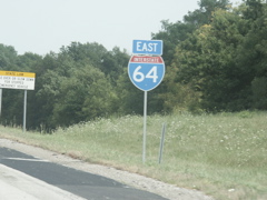
Another state-installed directional plate with the larger initial letter. This is on I-64 just past the US 60 interchange at Exit 58.
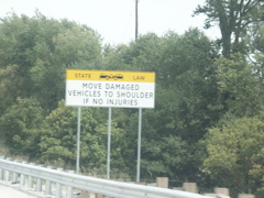
The new "move over" sign that has been installed on Kentucky's interstates and parkways. The sign is Clearview and is in all caps. It's also black-on-white and black-on-yellow (called "positive contrast") which is not yet an approved FHWA use for the Clearview font. This is on I-64 east of Frankfort.
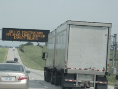
The overhead message sign on I-64 eastbound near Midway warned of construction on I-75.
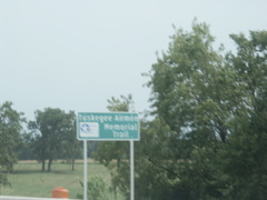
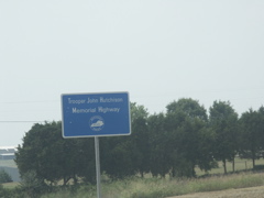
I-75 in Fayette County has been named in honor of the Tuskeegee Airmen. This is the first use of Clearview font for a non-guide sign that I have seen in Kentucky.
Temporary sign for the I-75 construction project.

This "move over" sign is located on the eastbound Mountain Parkway in Clark county.
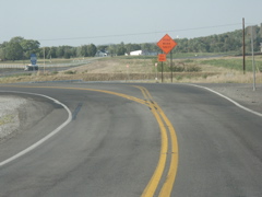
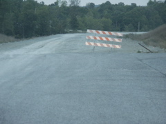
KY 82 in Estill County, near the Powell County line, is being rebuilt to eliminate a treacherous curve. This is just after crossing the county line.
This shot shows the construction of the new alignment of the curve.