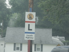
The first day of the meeting involved a tour of the old Lincoln Highway. The route is well marked with trailblazers such as these.
In Greensburg, not only is there a sign along old US 30 in downtown, but there is a painting of the symbol o the curb as well.
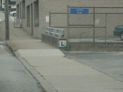
A closeup of the painting, on a small bridge abutment.
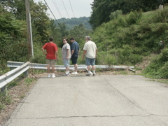
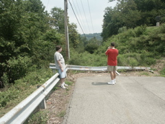
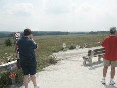
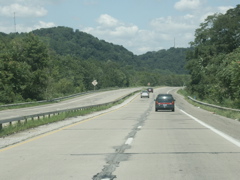
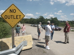
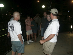
John, Jeff, Corey and Brian at an old alignment of US 30 east of Greensburg.
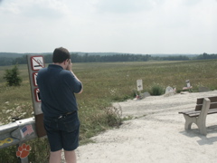
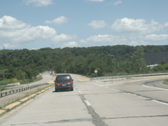
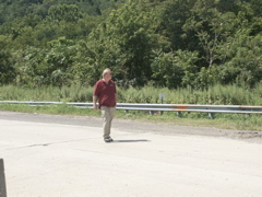
Jeff and John at the dead-end alignment.
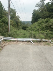
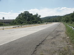
The dead-end alignment.
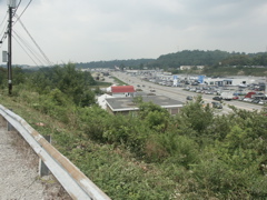
Looking west toward present-day US 30 and toward Greensburg.
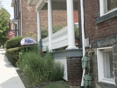
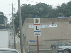
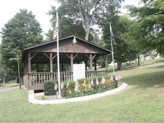
THe Lincoln Highway Heritage Corridor office in Ligonier.
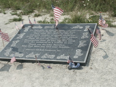
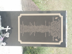
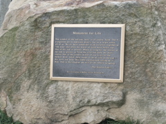
A plaque at the Flight 93 memorial near Shanksville.
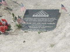
Another memorial at the site.
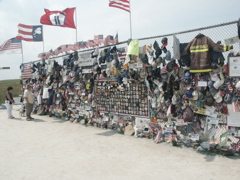
A memorial wall allows individuals and groups to post their tributes to the heroes of Flight 93 and the victims of the Sept. 11, 2001 terrorist attacks.
Yet another memorial at the site.
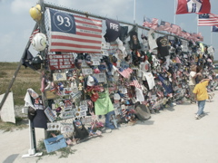
Another shot of the tribute fence.
The American flag marks the actual site of the crash. The site is an old reclaimed strip mine.
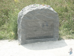
Another memorial to the heroes of Flight 93.
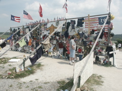
Jeff Kitsko checks out the memorial fence.
Corey and John photograph the crash site.
Corey focuses on the American flag that notes the crash site.
A tribute to the armed forces in Shanksville, which is a few miles away from the Flight 93 crash site.
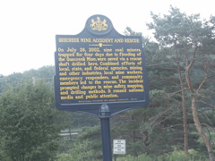
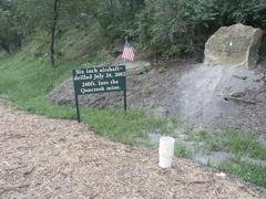
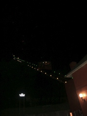
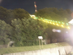
Historical marker at the Quecreek mine rescue site near Sipesville, north of Somerset.
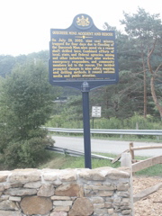
Another view of the historical marker.
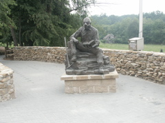
This statue greets visitors to the mine rescue site.

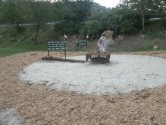
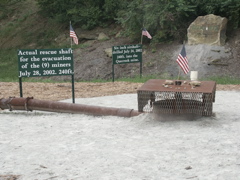
The rescue shaft.
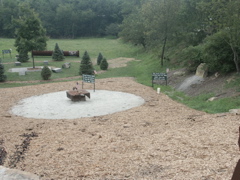
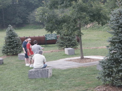
A view of the rescue site.
Jeff Kitsko at the rescue site.
Another view of the rescue location.
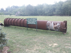
The airshaft drilled into the underground mine.
Brian Reynolds checks out the rescue site.
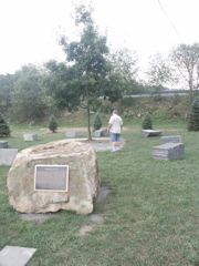
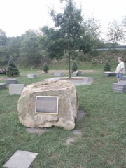
Brian, with his back to the camera, looks at a tree planted in honor of the rescued miners.
The plaque shown on the rock in the previous photo.

A second rescue shaft.

This was an air lock that was part of the Plan B rescue effort.
From another angle.
Corey, John, Jeff and Brian.
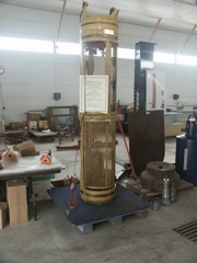
The actual rescue unit, donated to the museum by the MSHA.
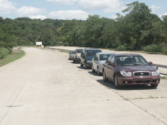
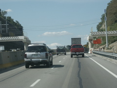
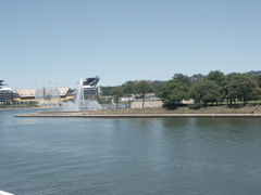
This is a portion of four-lane route that connects only to a couple of surface streets that the group checked out on Friday.
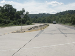
The four-lane ends at the entrance to a concrete plant.
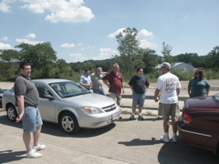
Corey, Brian P., Brian R., Tom, Jeff, John and Angie at the end of the short four-lane.
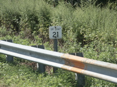
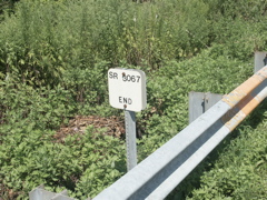
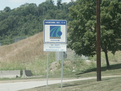
This short four-lane route carries a state route number of 3067.
Angie, Billy, Brian R., John, Brian P. and Tom at the end of the four-lane.
The convoy parked on the short stub of four-lane that leads to a concrete plant.
Looking out of the concrete plant entrance.
The opposite side of the SR 3067 inventory marker shown earlier.
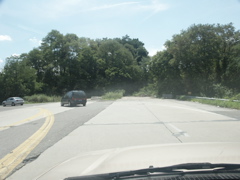
Another shot of the four-lane segment.
Tom Dell.
This is the opposite end of the four-lane.
We visited this Penn DOT office to see the Regional Traffic Management Center.
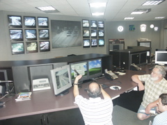
Dom Munizza shows the Traffic Management Center controls to Brian P. and Brian R.
Brian R., Brian P., Tom, Corey, jeff, John and Billy watch. In the background is a Pittsburgh media traffic reporter, standing, talking to Angie Vegso of the Traffic Management Center.
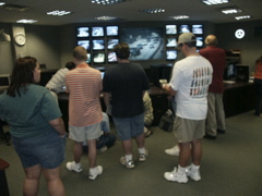
Angie, Billy, Jeff, John and tom watch the bank of monitors.

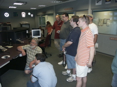
Dominic shows Brian P. and Brian R. the workings of the traffic camera management controls.
Billy watches Dominic adjust one of the cameras.
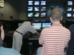
This missing bridge beam was set to be installed on Friday night, necessitating a closure of I-79. The Traffic Management Center was planning for the closure the afternoon we visited.
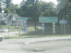
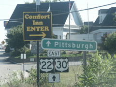
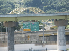
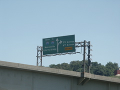
These unusually shaped US route signs, near our daily meeting spot on Old Steubenville Pike, were attention-getters.
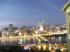
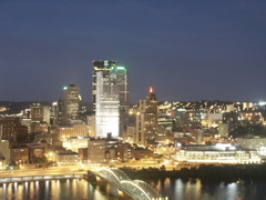
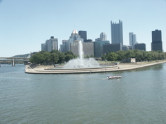
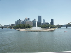
A nighttime view of Pittsburgh from the top of Mt. Washington and the Monongahela Incline.
Another view of the skyline.

Looking at the Fort Pitt Bridge and the confluence of the Monongahela and Allegheny Rivers to form the Ohio River at sunset.
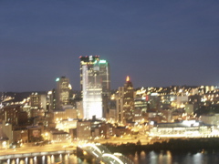
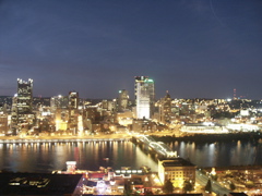
Yet another view of the Pittsburgh skyline.

And another.
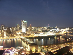
And a zoomed-out view showing the Monongahela River.

Here's another view.
And yet another.
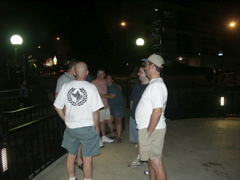
C.C., Doug, Billy, Angie, Jeff and John at the observation deck.
Another shot of the group. Brian R and Corey are visible in this shot.
John, C.C. Jeff, Doug and Billy in the incline station.
Brian R. and Angie wait to catch the incline down the hill.
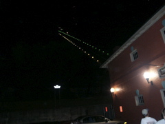
A nighttime view of the incline.
Here's another view.
I couldn't hold the camera steady enough for a shot of this one, so there is some motion blur.
The Comfort Inn was our gathering place for the Thursday and Saturday events.
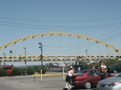
The Fort Pitt Bridge as seen from the Station Square parking lot.
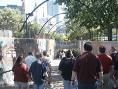
The group heads down to the Gateway Clipper Fleet dock.
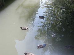
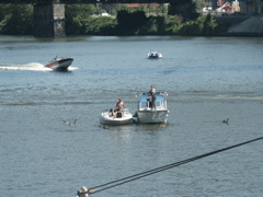
The ducks know they'll be well-fed.
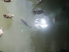
And so do the carp!
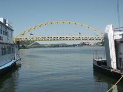
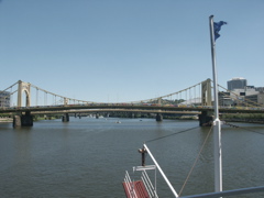
Looking at the Fort Pitt Bridge down the Allegheny River.
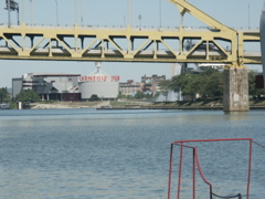
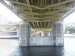
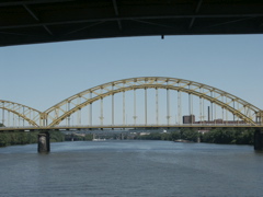
A closer view fo the double-decker Fort Pitt Bridge.
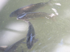
There were plenty of carp in the river at this location.
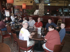
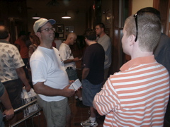
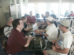
Ordering lunch at the Red Star Tavern -- Corey, C.C., Jeff, Oscar, Brian R., Larry, Doug, Billy, Angela and John.
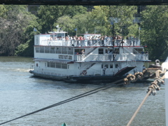
Larry takes a picture of me taking a picture aboard the Gateway Keystone Belle.
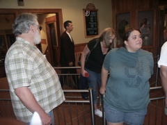
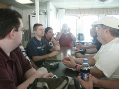
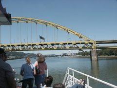
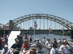
The group aboard the Keystone Belle, waiting to head upstairs to see the bridges on the cruise.
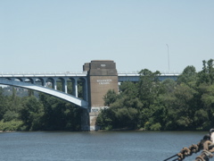
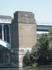
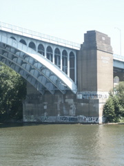
This is an old bridge abutment for a former crossing of the Monongahela River, which connected to the Wabash Tunnel.
Getting ready to sail under the Fort Pitt Bridge.
Signage on the Fort Pitt Bridge, as seen from the river below.
This is the point where the Monongahela and Allegheny rivers come together to form the Ohio.
Looking at the point as the boat turns from the Monongahela to the Allegheny.
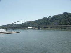
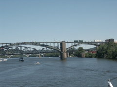
A more distant view of the point. The Fort Pitt Bridge is at right and Fort Duquesne Bridge (both carrying I-279) is at left.
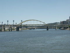
Looking up the Allegheny River at the bridges.
Looking back at the Fort Pitt Bridge and the portal to the Fort Pitt Tunnel.
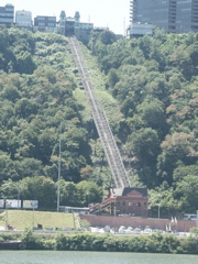
This is the Duquesne Incline. It is similar to the Monongahela Incline we rode the night before.
A closer shot of the Fort Pitt Tunnel and connecting ramps to the Fort Pitt Bridge.
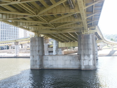
Beneath the Fort Duquesne Bridge.
Pittsburgh Police patrol the rivers as well as the highways.
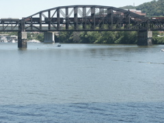
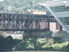
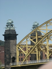
This is a double-decker railroad bridge. At one time it carried four lines but now the bottom deck is empty and the upper deck carries only two rail lines.
This shows the end of the rail bridge in the previous photo.
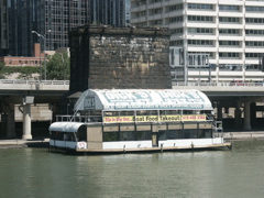
The Gateway Party Liner -- this was the cruise that we had planned to take, but the tour was sold out when we arrived to buy tickets.
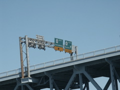
Signage on the Veterans memorial Bridge (I-579).
Signage on the Veterans Memorial Bridge.


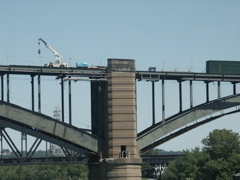
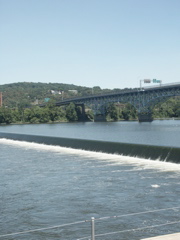
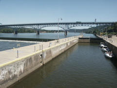
This is the PA 8 bridge, nearing the Lock & Dam No. 2.
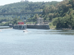
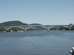
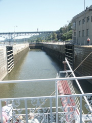
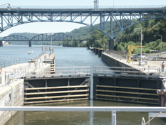
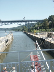
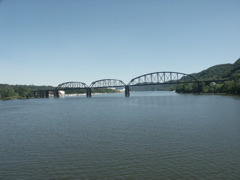
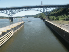
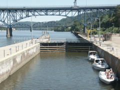
Approaching the lock. The bridge in the background is the Highland Park Bridge.

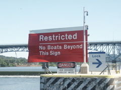
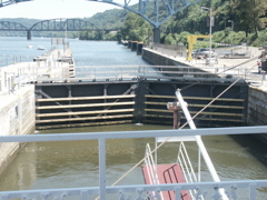
Approaching the lock to continue upstream.
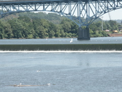
The dam is not very high at all. Notice the seagulls on the debris which is floating in the lower portion of the photo and the one in flight.
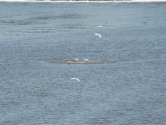
These seagulls are a bit inland, aren't they?
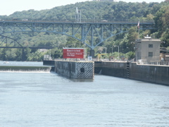
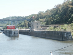
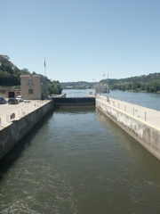
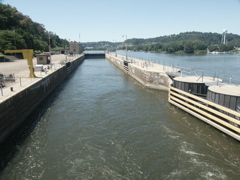
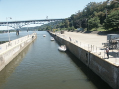
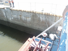
Entering the lock.
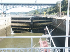
The lock doors begin to open as we have reached the height of the water upstream of the dam.
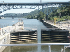
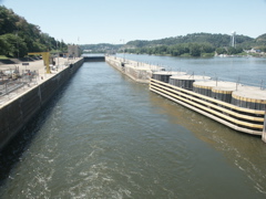
The lock doors are open and we are clear for exit.

Looking back at the dock as we depart.
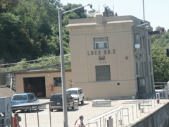
This stucture was built in 1934.
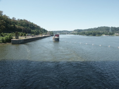
Pulling away from the lock, and getting ready to turn around and lock through again.
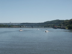
One last look upstream on the Allegheny.
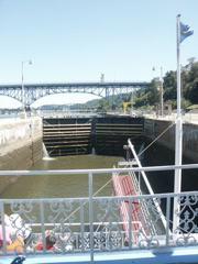
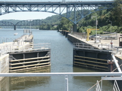
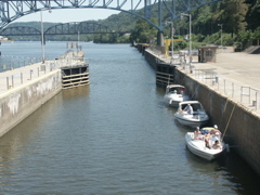
Looking back upstream as we enter the lock for the trip back.
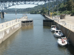
Three smaller boats will be locking through with us.
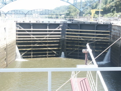
The lock doors close as we get ready to lock through.
We have been secured to the lock wall for the descent.
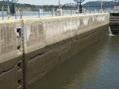
This shows the level of the water when it is level with the upstream level above the dam.