|
|
|
|
|
|
|
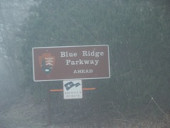
Fog shrouds the intersection of US 19 and the Blue Ridge Parkway.
|
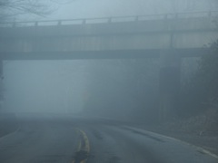
Very foggy view of the BRP overpass across US 19.
|
|
|
|
|
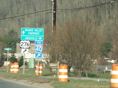
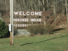
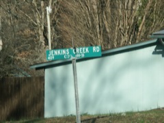
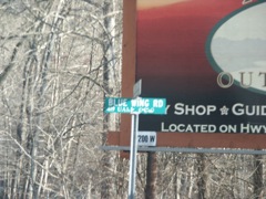
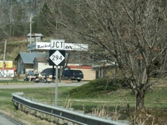
Many of the local road signs in this area have both English and Cherokee designations.
|
|
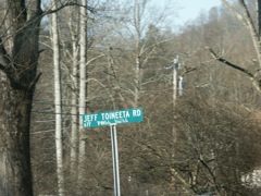
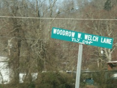
Another example with the Cherokee alphabet.
|
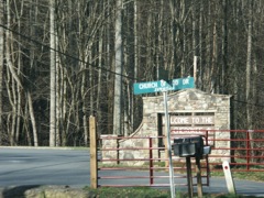
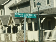
And yet another.
|
|
|
|
|
|
|
Approaching Cherokee.
|
|
|
|
The trek to Chattanooga was a bit longer because of the closure of US 64/US 74 in Tennessee due to a rockslide.
|
|
|
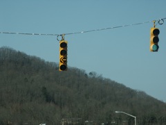
This signal uses the new flashing yellow light for a left turn.
|
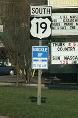
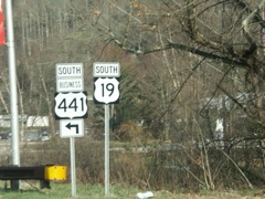
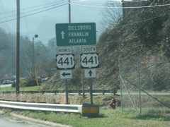
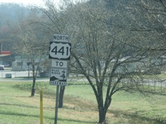
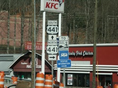
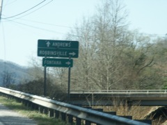
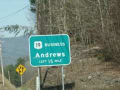
A short jaunt south on US 441 to clinch that route in North Carolina.
|
|
|
|
|
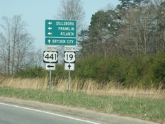
At this point I had driven all of US 441 in North Carolina. The short segment between Cherokee and US 74 was all I lacked.
|
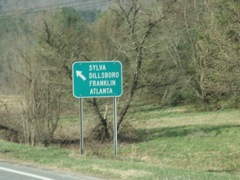
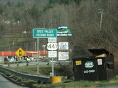
A U-turn back onto northbound US 441.
|
|
|
|
|
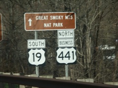
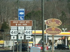
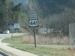
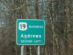
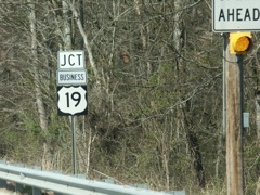
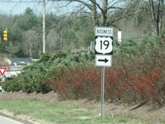
Both business and bypass US 441 are new routes that bypass the original route into downtown Cherokee.
|
|
|
|
|
|
|
|
|
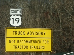
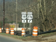
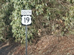
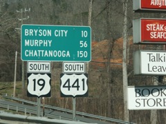
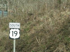
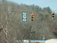
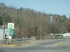
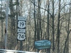
Continuing south on US 19.
|
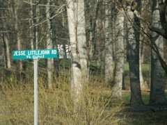
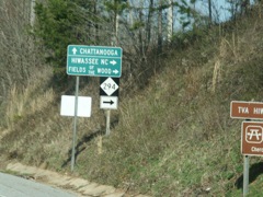
More Cherokee language route signage.
|
|
|
Even beyond the reservation boundaries, the local signs have both languages.
|
|
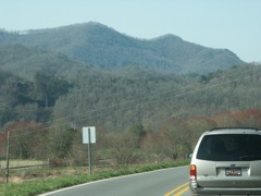
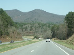
More pretty views.
|
|
|
|
|
|
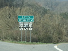
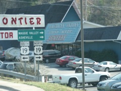
In Bryson City.
|
|
|
|
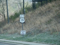
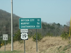
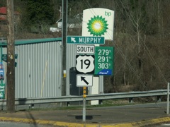
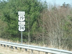
This marked a clinch of US 19 in North Carolina. I've clinched that route in four states (WV, VA, TN and NC).
|
|
|
|
|
|
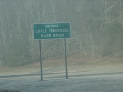
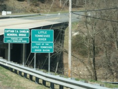
Well duh. Of course the Little Tennessee River would be part of the Little Tennessee River basin.
|
|
|
|
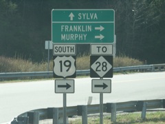
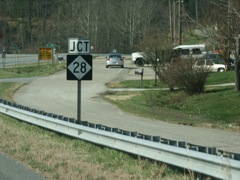
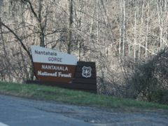
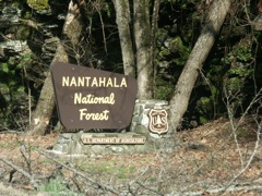
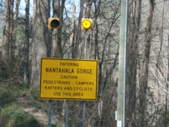
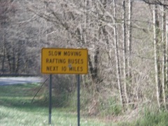
The intersection with NC 28 marks the end of the US 74 freeway as the route enters the Nantahala Gorge.
|
|
|
|
|
|
|
|
|
|
|
|
|
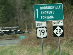
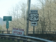
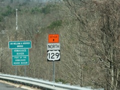
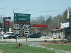
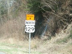
Approaching US 129.
|
|
|
|
|
|
|
|
|
|
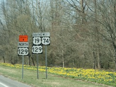
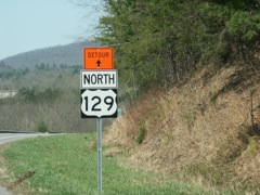
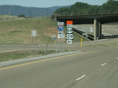
There was no signage that north US 129 was closed at the intersection, yet these signs are installed all along US 74 in Tennessee as well as North Carolina. They look permanent.
|
|
|
|
|
|
|
|
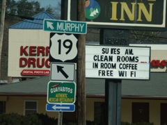
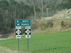
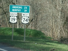
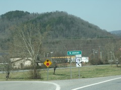
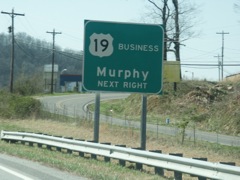
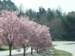
Trees in bloom in Murphy.
|
|
|
|
And again, duh. You expect a river to be part of its own basin.
|
|
|
|
|
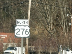
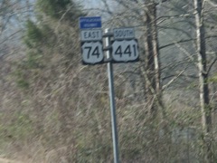
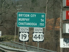
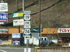
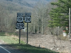
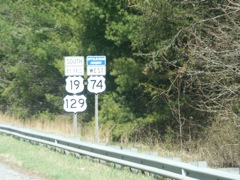
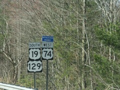
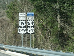
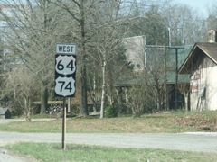
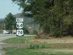
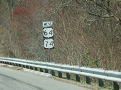
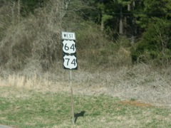
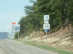
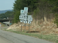
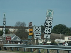
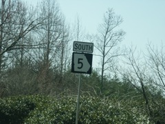
US 19 and 129 split from US 64 and 74, bound for Georgia.
|
|
|
|
|
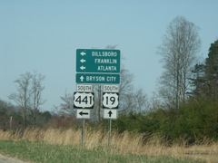
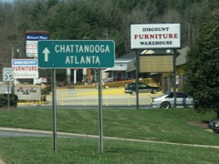
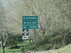
One of the many ways to get to Atlanta from western North Carolina.
|
|
|
|
|
|
|
|
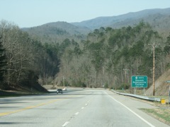
Pretty view nearing the Tennessee state line.
|
|
|
|
|
|
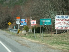
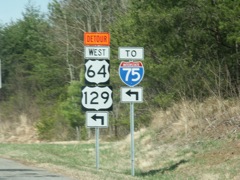
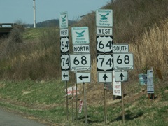
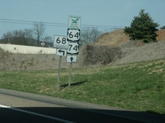
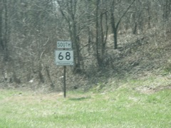
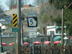
With the rockslide on US 64 ahead, traffic heading toward Chattanooga is detoured onto TN 68 north to I-75.
|
The US 129 detour is also posted here.
|
|
|
|
|
|
|
|
|
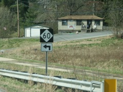
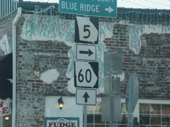
TN 68 becomes GA 60 at the state line, and GA 5 intersects there. The sign assembly at right has GA 60 and TN 68 signage, traffic heading the opposite direction sees GA 5 and TN 68 signs. Check out the different shield shapes for the two Georgia state route signs here.
|
|
|
|
|
|
|
|
|
|
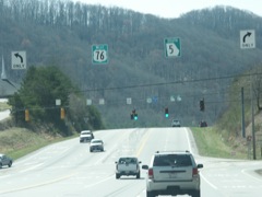
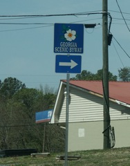
Overhead signs like this are common in Georgia.
|
|
|
|
|
|
|
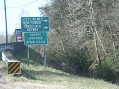
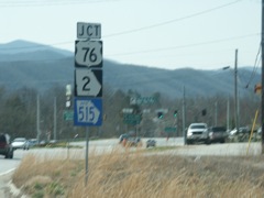
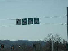
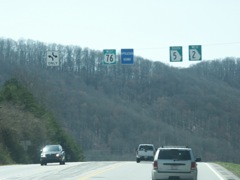
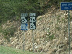
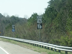
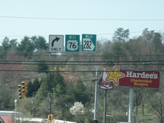
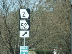
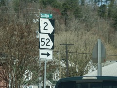
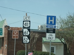
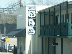
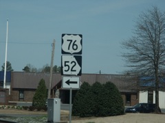
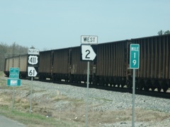
At Ellijay, US 76 departs the Appalachian corridor. When I was here a couple of years ago I took US 76 over to US 411. This time I took GA 2 and 52.
|
|
|
|
|
|
|
|
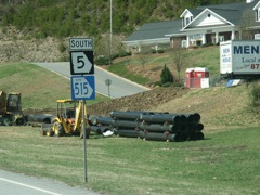
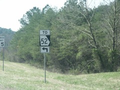
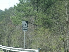
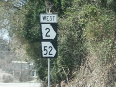
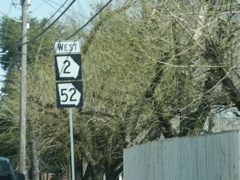
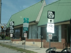
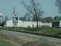
GA 2 / GA 52 is a winding route across the mountains, but there are some pull-outs for slow moving vehicles.
|
|
|
|
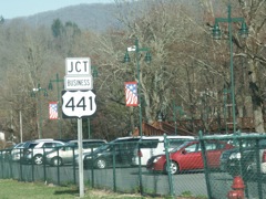
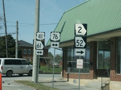
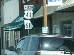
This intersection involves six numbered routes.
|
|
|
|
|
|
|
|
|
|